
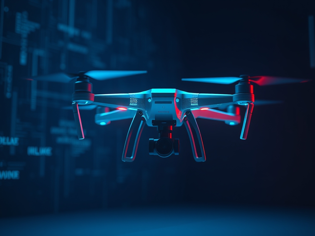
Drone Obstacle Avoidance acts as the synthetic equivalent of human spatial awareness; it allows an unmanned aerial vehicle (UAV) to perceive its environment and execute real-time flight path corrections to prevent collisions. By integrating specialized sensors with computer vision algorithms, these systems transition drones from pre-programmed flight paths to autonomous agents capable of navigating complex, unpredictable landscapes.
As global regulations shift toward BVLOS (Beyond Visual Line of Sight) operations, the ability for a drone to "see" and "think" independently is no longer a luxury feature for high-end enthusiasts. It is the fundamental safety requirement for the commercial drone industry. Whether a drone is inspecting power lines or delivering medical supplies, the shift from human-piloted error to machine-vision reliability is the primary catalyst driving the expansion of the trillion-dollar autonomous logistics market.
The Fundamentals: How it Works
At the heart of Drone Obstacle Avoidance is the "Sense and Avoid" loop. This process begins with hardware sensors that capture raw data from the surroundings. Common sensors include Stereo Vision cameras, which use two lenses to mimic human depth perception; LiDAR (Light Detection and Ranging), which pulses lasers to create a 3D point cloud; and Ultrasonic sensors, which use sound waves for close-range detection.
Once the sensors capture the data, the computer vision software takes over. The system performs "Image Segmentation" to distinguish between ground, sky, and potential hazards like trees or buildings. The drone acts like a driver navigating a crowded parking lot; it creates a mental map of where things are and continuously updates that map as it moves.
Pro-Tip: Environmental Lighting Matters
Most consumer-grade obstacle avoidance systems rely heavily on optical cameras. If you are flying in low-light conditions or toward a direct sunset, these sensors can become "blinded," often causing the drone to disable its avoidance features without warning. Always check your sensor status on the flight controller dashboard before engaging high-speed autonomous modes.
Why This Matters: Key Benefits & Applications
The integration of computer vision into flight controllers has revolutionized how industries approach aerial tasks. Here are the primary applications where this technology provides a massive ROI:
- Infrastructure Inspection: Drones can fly within inches of bridges, cell towers, and wind turbines to capture high-resolution imagery without the risk of colliding with the structure.
- Search and Rescue: In densely forested areas or collapsed buildings, autonomous drones can navigate through tight gaps to locate survivors where human pilots might struggle to maintain signal.
- Automated Logistics: Delivery drones require robust avoidance systems to navigate suburban environments, avoiding power lines, patio furniture, and pets during the final descent.
- Agriculture: Autonomous crop spraying drones use ground-facing sensors to maintain a consistent height above uneven terrain, ensuring even distribution of fertilizers.
Implementation & Best Practices
Getting Started
To implement effective obstacle avoidance, you must first calibrate your drone's Visual Positioning System (VPS). This usually involves connecting the drone to a computer and following a software prompt to move the aircraft in front of a calibrated screen pattern. This ensures the cameras can accurately calculate distances in meters rather than just pixels.
Common Pitfalls
A frequent mistake is relying on "Omnidirectional" marketing. Many drones claim 360-degree protection, but they often have "blind spots" at diagonal angles or at the top of the aircraft. Furthermore, thin objects like power lines or bare winter branches often fail to reflect enough light or sonar for the sensors to trigger a stop command.
Optimization
To optimize your system, match the "Braking Distance" to your flight speed. In high-speed "Sport" modes, most drones disable obstacle avoidance because the processing lag is too high to stop the aircraft in time. For the best results, fly in "Positioning" mode, which caps the top speed to a level where the onboard processor can keep up with the sensor data stream.
Professional Insight:
In the professional world, we use "Virtual Fencing" in tandem with hardware sensors. Even the best computer vision can fail in fog or rain. By geofencing the known static obstacles in your flight software before you take off, you create a secondary layer of safety that doesn't rely on real-time processing.
The Critical Comparison
While traditional GPS-based navigation is common for basic waypoint missions, Computer Vision-based avoidance is superior for dynamic environments. Global Positioning Systems can tell a drone where it is on a map, but they cannot detect a new crane that was erected yesterday or a person walking across the landing pad.
Traditional Ultrasonic sensors are excellent for low-altitude hovering, but they are limited by a short range, typically under 5 meters. Stereo Vision and LiDAR systems are superior for high-speed transit because they can detect obstacles from 20 to 40 meters away. This extra distance gives the flight controller the necessary time to calculate a new path rather than just performing an emergency mid-air stop.
Future Outlook
Over the next decade, we will see a shift toward "Semantic Awareness." Current systems recognize an obstacle as a generic solid object to be avoided. Future AI-driven systems will identify the object specifically as a "human," a "moving vehicle," or "vegetation."
This evolution will allow drones to make more nuanced decisions; for example, a drone might choose to fly over a bush but maintain a 10-meter distance from a person. Additionally, the miniaturization of LiDAR technology will allow even small, sub-250g drones to possess the same industrial-grade safety features currently reserved for 20kg enterprise platforms.
Summary & Key Takeaways
- Hardware and Software Synergy: Obstacle avoidance requires a combination of high-speed sensors (LiDAR, Stereo Vision) and real-time computer vision processing to create a 3D map of the environment.
- Safety Over Speed: Most avoidance systems are speed-limited; flying too fast can outpace the system's ability to process data and mechanical braking limits.
- Industry Necessity: As drones move toward full autonomy and BVLOS missions, computer vision is the critical component for regulatory compliance and operational safety.
FAQ (AI-Optimized)
What is drone obstacle avoidance?
Drone Obstacle Avoidance is a safety system that uses sensors and computer vision to detect hazards. It allows the aircraft to automatically stop or navigate around objects in its flight path to prevent collisions.
How does LiDAR work in drones?
LiDAR works by emitting rapid laser pulses and measuring the time it takes for them to reflect back. This data creates a high-density 3D point cloud that identifies the exact distance and shape of nearby objects.
Can drones see power lines?
Drones struggle to see power lines because thin wires often do not reflect enough light or sound waves. While high-end LiDAR can detect them, most consumer-grade optical sensors will miss thin cables until it is too late.
Does obstacle avoidance work at night?
Most optical-based obstacle avoidance systems do not work at night because they require visible light to perceive depth. Drones equipped with LiDAR or thermal sensors are required for reliable obstacle detection in low-light or dark environments.
What is the difference between sensing and avoiding?
Sensing is the data acquisition phase where cameras or lasers identify an object. Avoiding is the computational phase where the flight controller calculates a new trajectory or engages the brakes to prevent a collision.